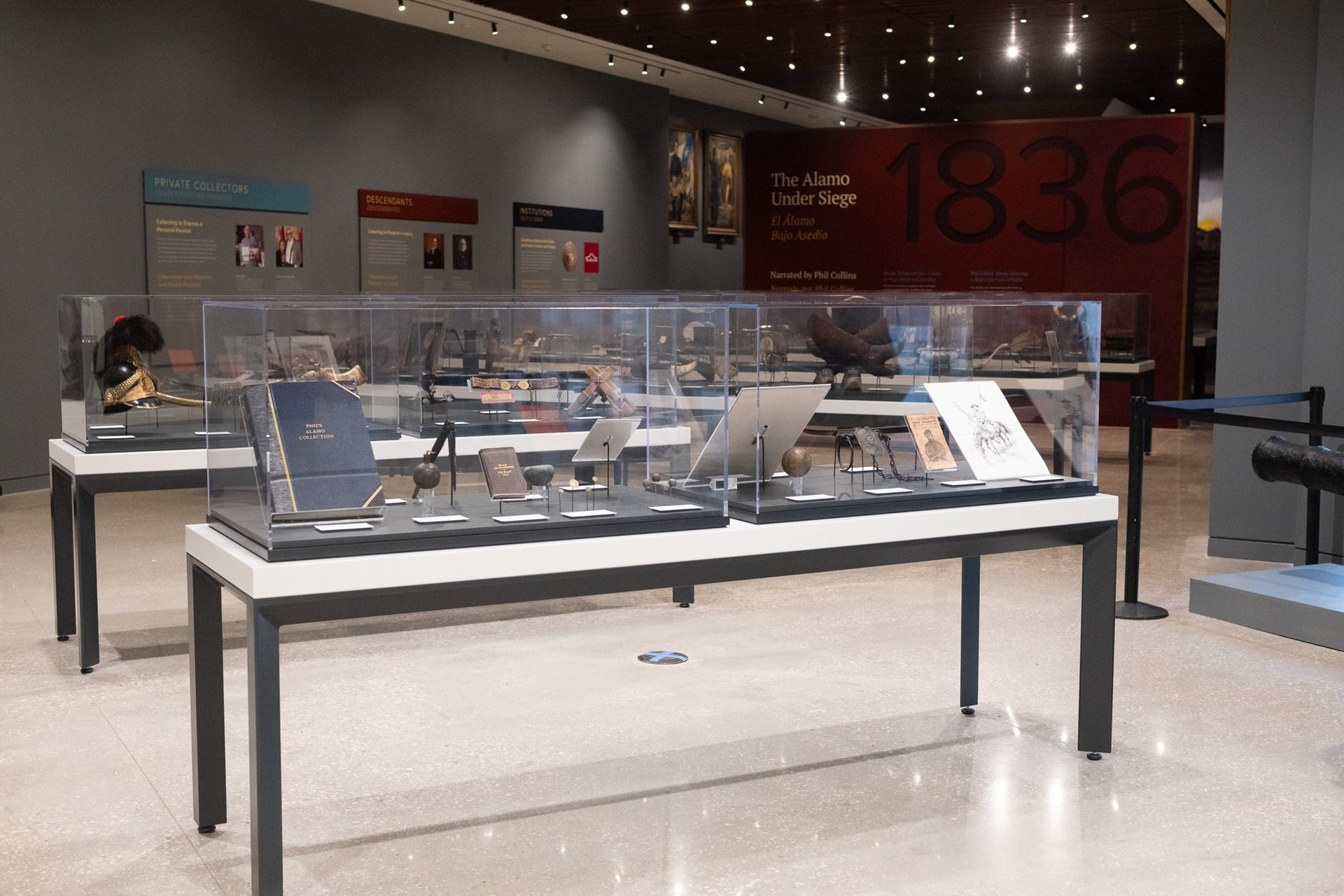
Archaeological excavations associated with the preservation work for the Church and the Long Barracks continued in four units. Two of the excavation units were those started the previous week, located at the southeast corner of the Long Barrack and north of the exterior of the Sacristy.
Archaeology Update — Excavations Continue to Reveal Exciting Details About the Historic Structures
October 14, 2019
Excavation Unit 14, located near the exit of the Church, finished documenting a feature that prevents further excavations. The feature consists of an alignment of stones that create a circular pad. Two large stones appear to make up the northern portion of the pad, whereas smaller stones that are mortared in place comprise the center of the feature. The foundation of the original sacristy wall appears just below the currently reconstructed wall. The alignment of the stones beyond the reconstructed sacristy wall caused the archaeologists to quickly re-consult some of the historic maps of the site to help identify the feature.
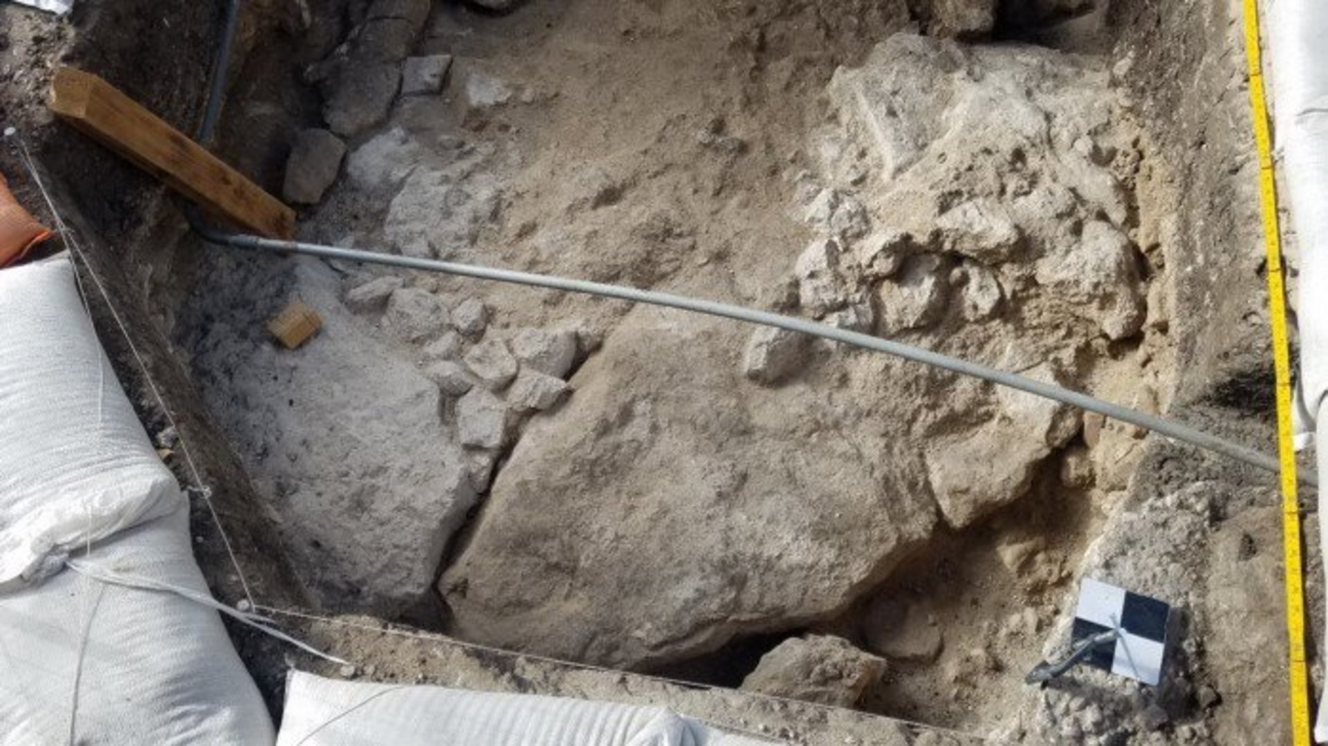

The revisit to the historic maps found two maps that were drawn by Edward Everett in 1846 and 1848 (Figure 3 and Figure 4). These two maps depict a circular feature in the northeast corner of the Sacristy. It is speculated that the feature encountered in Excavation Unit 14 and the one on the map are associated. It is possible that the stones form the base of a watchtower or buttress. There is much to still learn from the feature from archival research that can help to better understand the construction and function.


In addition to the archaeologists examining the area, the Alamo Associate Curator as well as the Architecture portion of the project team are consulting their research to gather more information.
Excavation Unit 16, placed near the southeast corner of the Long Barrack, continued to expose a portion of what appears to be a foundation running east-west. Only a portion of the foundation remains in place. The foundation running east-west appears to be approximately 4.2 feet from the currently standing arcade wall. Currently, there are no stones observed beyond that point. The intention was to determine if there was a solid foundation that could represent the corridor between the extant portion of the Long Barrack and the Church.
During the excavations to reveal the foundation, various types of artifacts were encountered that represented all periods of occupation. The most interesting was a two-prong fork with a decorative bone handle that was found in the rubble layer in the northeast portion of the unit.


In the southeast portion of the unit, the cut stone sitting on top of a foundation was further uncovered to document the dimensions. The dimensions match that of the other possible support foundations for the beams that would have held the second-story porch in place during the mercantile store period.
In addition, the archaeologists have exposed a deeper caliche floor that may pertain to the Quartermaster Depot or mission occupation periods. The artifacts recovered from the level will help to better understand the date of the floor.
Artifacts recovered from Unit 16 have been a little mixed due to the demolition rubble, a few interesting artifacts have been encountered and include stoneware sherds and a lead shot. Other artifacts encountered included glass fragments, metal fragments, and construction related materials.
Archaeologists began work on Unit 6, located inside one of the rooms off the nave of the Church. Excavations observed a 1 to 1.5-inch diameter bore hole that extended approximately 35.4 inches below the surface. It is possible that this bore-hole is related to previous investigations concerning soils and water movement. Excavations within the unit encountered mixed soils that contained PVC pipe fragments, brick tile fragments, mortar pieces, small limestone rock, glass, and metal.