Archaeology Update — A Look Back at Alamo Archaeology in 2020

Kristi Nichols, Director of Archaeology, Collections and Historical Research
December 9, 2020
Abandoned manhole at the intersection of Crockett and Bonham Streets
Figure 1. Abandoned 20th Century manhole that was encountered.

After an eventful year of archaeology, we have seen the last two projects wind down since October. The Phase 1 work in the southern portion of Alamo Plaza, along Crockett and Bonham have completed excavations associated with utility installations. Prior to Thanksgiving, sections of Crockett Street were opened to pedestrian traffic, allowing a throughway between the Alamo and the Menger Hotel area.

The excavations associated with the utility installation along Crockett and Bonham Streets encountered mostly previously disturbed soils or soils that did not contain significant cultural material. Evidence of previous utility installations were observed as in the case of an abandoned manhole at the intersection of Crockett and Bonham, with a caliche soil noted a length of Crockett Street while excavating for a new water line. Just below the current asphalt and concrete layers, some of the mesquite block pavers were observed. Most of these were noted in previously disturbed soils. Archaeologists recorded the location of these mesquite pavers.

Saloon and restaurant at the corner of Alamo Plaza and Crockett Street on the 1877 Sanborn Fire Insurance Map.
Figure 2. Saloon and restaurant at the corner of Alamo Plaza and Crockett Street on the 1877 Sanborn Fire Insurance Map.

Two features of cultural significance were encountered during the course of the work in Phase 1. Both of these features were encountered in Crockett Street, closer to Valero Plaza. One feature, located near the south end of the arcade south of the Alamo Church, consists of a portion of a limestone foundation. The limestone foundation is associated with a structure that had been constructed during the later part of the 1800s. The structure housed a saloon and boarding house (Figure 2). This building remained until before 1920, when it was demolished and replaced by a two-story garage. To avoid potentially impacting the foundation further, the design of the utility path was altered to avoid the foundation footprint. This portion of the foundation was preserved in place.

Another feature encountered during the Phase I utility trench was a portion of the Spanish Colonial irrigation ditch that crossed the area throughout the mission period and was in use until the early 1900s. The irrigation ditch, also referred to as an acequia, was noted in the profile of the trench. In this area, the acequia was just a trench dug into the dirt with no stone lining. No artifacts were found within the possible acequia location. The profiles of the acequia were recorded and mapped, allowing for the installation of the electrical duct bank to proceed.

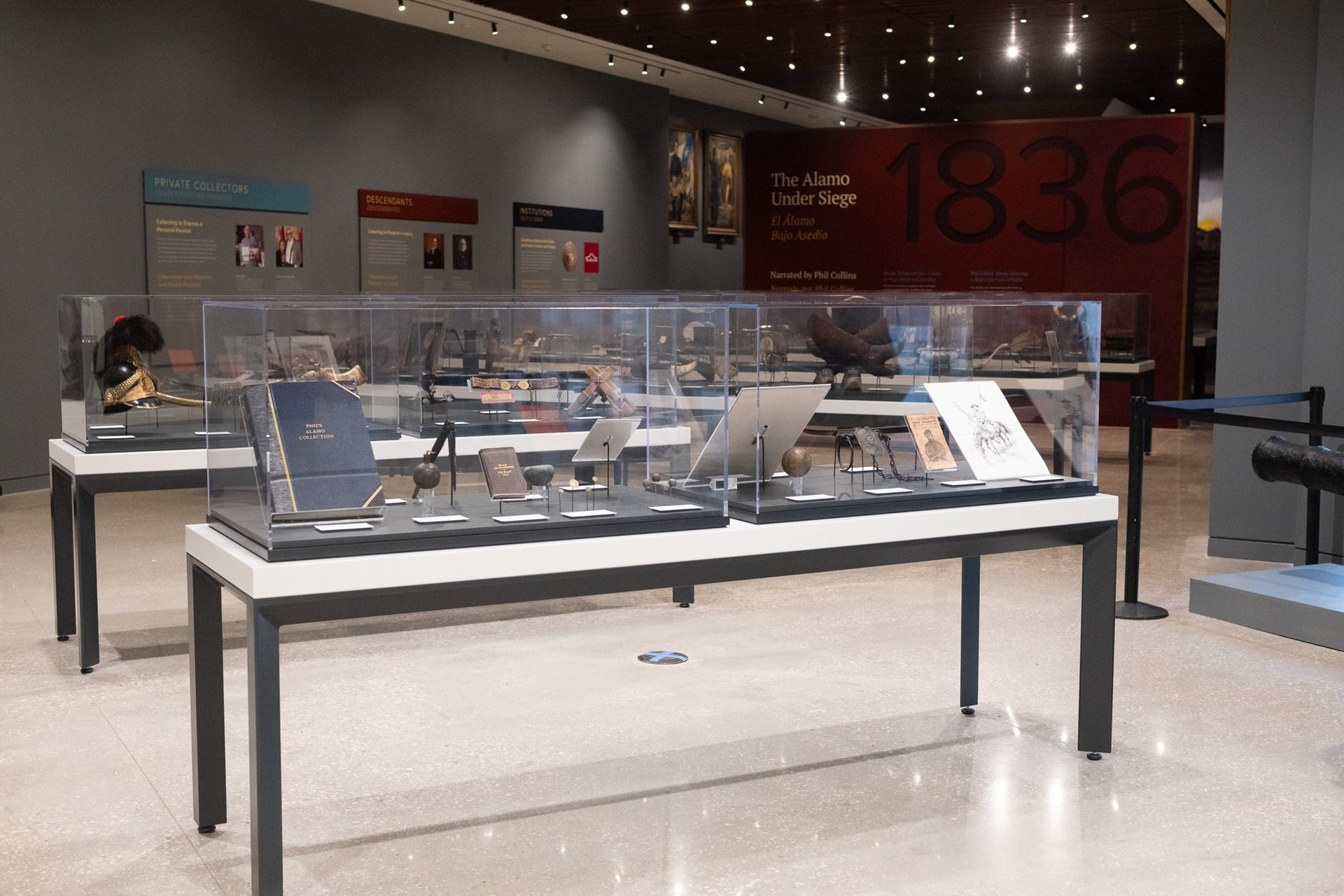
The trenches that were excavated for the utility installation have been backfilled and await the final hardscape. At this time, no more archaeological monitoring is planned unless additional subsurface impacts come up in the future.

Features and artifacts encountered during the archaeological investigations associated with the preservation work of the Long Barrack and Church in 2020 also were interesting. Although the pandemic slowed some of the work for a while, archaeologists were able to complete the excavations and locate the base of the foundation of the Church and Long Barrack. The archaeologists were also able to document a section of a foundation that runs perpendicular to the north wall of the Church on the exterior of the building, as well as recover a portion of a cedar post that may be from the late mission to fortress time period.

The foundation of the Church and part of the Long Barrack were found to be constructed on a natural geological formation. This layer is dense, though not as hard as bedrock. The investigators refer to the layer as hardpan. In some sections of the Church, the hardpan was dug into to set foundation stones, in others, the foundation sits just on top of the hardpan. This information will be extremely helpful as the historic architects determine what is the best methods for preserving the historic structures.

Exposed portion of a foundation on exterior of Church and hardpan at the base of unit.
Figure 3. Archaeologists documenting unit with an exposed portion of a foundation on exterior of Church and hardpan at the base of unit.
Foundation on the interior of the Church.
Figure 4. Documenting the foundation on the interior of the Church. The bottom of the unit exhibits the hardpan that the building has been constructed upon.

One feature of great interest uncovered this year consisted of a section of intact, handmade floor tiles inside the Church revealed as investigators were sweeping and cleaning of an area outside of excavation units, but where the flagstone and concrete had been removed within the Temporary Sacristy room. Our Conservator, Pam Rosser, was extremely excited to see this section intact. The section was documented as was preserved in place. A protective covering was placed over the feature prior to the replacement of the concrete and flagstone floor.

Handmade tile floor inside the Church.
Figure 5. A portion of the handmade tile floor uncovered inside the Church.
Floor tiles after cleaning
Figure 6. Photograph of the tile after cleaning, evidence of smoothing the tile by hand during manufacture was noted on the surfaces.

The archaeologists have returned to their laboratories and offices where they will compile the collected information, analyze the artifacts, and write a report of their findings. This process typically takes as long if not longer than the time spent in the field collecting the data. In the future, the technical reports for the investigations will be produced and shared.